
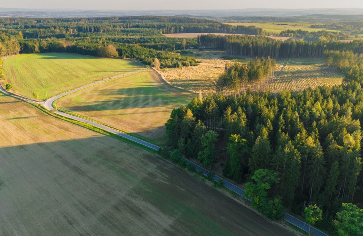
Villages Along the Khopoli-Pali Road: Who Approves Building
The Khopoli-Pali road villages look like one market, but they sit in two talukas and two planning regimes. Knowing which authority approves building on a given village plot is the first thing to settle — before price, before the view.
- The road is State Highway 93 (the Wakan-Pali-Khopoli road), about 41 km, passing Pali, Parali and Pedali between the Expressway at Khopoli and the Mumbai-Goa highway near Wakan.
- It crosses two talukas: Khopoli sits in Khalapur taluka; Pali, Parali and Pedali sit in Sudhagad taluka.
- Two planning regimes govern one road. The Khalapur end falls inside NAINA (MSRDC as Special Planning Authority); the Sudhagad end falls under the Raigad Regional Plan and UDCPR 2020.
- So a gram panchayat NOC alone may not be enough. Which authority signs off depends on the taluka and village the survey number sits in.
- Sudhagad taluka has 98 villages across 34 panchayats — confirm the planning authority for the specific village, in writing, before you buy.

Which villages does the Khopoli-Pali road actually pass through?
The Khopoli-Pali road is State Highway 93, the roughly 41 km Wakan-Pali-Khopoli road. Its pre-feasibility report names Pali, Parali and Pedali as the major villages it passes, running from the Mumbai-Goa highway (NH-66) near Wakan to the Mumbai-Pune Expressway at Khopoli, through Raigad district.
At the northern end, Khopoli and the Khalapur-side villages near the Expressway toll begin the corridor. Follow SH-93 south-west and it reaches the Sudhagad-taluka villages — Parali (about 20 km from Khopoli), Pedali, and then Pali, the Ashtavinayak temple town — before carrying on toward Wakan near NH-66. Around these named waypoints lie many smaller hamlets and gram-panchayat villages that feed off the highway.
Because the road is a continuous ribbon, buyers tend to describe everything on it as “Khopoli-Pali road land.” But the villages are not interchangeable: they differ in taluka, in the planning authority that governs them, and therefore in what it takes to get building permission. That is the distinction this guide is about.
Why does it matter which village a plot sits in?
Because the same SH-93 road crosses two talukas with two different planning regimes: Khalapur taluka (Khopoli end) sits inside NAINA, while Sudhagad taluka (Pali end) falls under the Raigad Regional Plan. Two plots a few kilometres apart can answer to completely different authorities, rules and timelines.
This is the single check most buyers on this road miss. From a car window the corridor looks uniform. On paper, the village and taluka a survey number sits in decide who you apply to for development permission, which development control rules apply, and how long approvals take. Get that wrong and you can buy a plot expecting a simple local sign-off, then find it needs clearance through a Special Planning Authority instead.
| Village / area | Taluka | Planning regime |
|---|---|---|
| Khopoli & Khalapur-side villages | Khalapur | NAINA / MSRDC as Special Planning Authority |
| Parali | Sudhagad | Raigad Regional Plan / UDCPR 2020 |
| Pedali | Sudhagad | Raigad Regional Plan / UDCPR 2020 |
| Pali | Sudhagad | Raigad Regional Plan / UDCPR 2020 |
| Wakan (NH-66 junction end) | Confirm locally | Confirm per survey |
Treat the table as a starting map, not the final word. Jurisdiction boundaries and Special Planning Authority notifications can shift, so the planning authority for a specific survey number must be confirmed village by village.
Who approves building on the Khalapur (Khopoli) side?
On the Khalapur end, Khopoli-area villages sit within the Navi Mumbai Airport Influence Notified Area (NAINA). CIDCO was the original planning authority, and MSRDC was later appointed Special Planning Authority for a block of Panvel and Khalapur taluka villages — so permission runs through that regime’s development control rules, not a simple gram panchayat signature.
In practice this means a plot on the Khalapur side is governed by the NAINA / SPA framework: layout and building permissions follow that authority’s DCPR, and the approval path is more structured than an informal village NOC. For a buyer, the upside is a planned framework; the thing to budget for is the process and the paperwork it demands. Always ask which authority currently holds planning powers over the exact village — the SPA mandate has moved between bodies over time.
Who approves building on the Sudhagad (Pali) side?
Sudhagad taluka — including Pali, Parali and Pedali — is not in NAINA. Development there runs under the Raigad Regional Plan (notified 1991) and the state’s Unified Development Control and Promotion Regulations (UDCPR 2020), with permission routed through the Collector or the Town Planning office and the gram panchayat.
So on the Pali side the regime is the district’s regional plan rather than a Special Planning Authority. Permissions for non-agricultural use and layout development are processed through the Collector and the relevant town-planning machinery under UDCPR 2020, with the gram panchayat in the loop. It is a different route, with its own forms, fees and timelines, from the Khalapur side — even though the two ends share one highway.
How do the two planning regimes change what you can build?
The regime sets the development control rules — permissible use, FSI, setbacks, layout norms and the approval timeline — so a NAINA/SPA plot on the Khalapur side and a Raigad Regional Plan plot in Sudhagad can face different rules on the same question, even with similar land on the ground.
Two parcels that look alike can diverge once you apply the rulebook. The Khalapur-side plot is read against the NAINA authority’s DCPR; the Sudhagad-side plot against UDCPR 2020 within the Raigad Regional Plan. That can affect how much you can build, what approvals a plotted layout needs, and how long the file takes. None of this is a reason to prefer one side blindly — it is a reason to price the approval path into any plot, not just the land.
- ✓Identify the taluka and village for the exact survey or gat number first — Khalapur or Sudhagad.
- ✓Match it to the regime — NAINA / MSRDC SPA, or Raigad Regional Plan under UDCPR 2020.
- ✓Ask the right office — the SPA for NAINA villages, or the Collector / Town Planning and gram panchayat in Sudhagad.
- ✓Get the authority in writing before assuming a gram panchayat NOC is enough.
How do you confirm the right authority for a village plot?
Start from the 7/12 extract to fix the exact survey number, village and taluka, then confirm with the planning office which regime governs it — the NAINA Special Planning Authority on the Khalapur side, or the Collector / Town Planning office under the Raigad Regional Plan and UDCPR 2020 in Sudhagad. Get the answer in writing before you transact.
A clean way to do this: pull the 7/12 and locate the village and taluka; ask the relevant office, in writing, whether the survey falls inside NAINA and who the current Special Planning Authority is, or whether it is a Raigad Regional Plan village; and confirm what permissions a plotted layout or a single home would need under that regime. For any qualifying plotted layout, also verify MahaRERA registration and the sanctioned plan. If a seller cannot point you to the governing authority, treat that as a gap to close, not a detail to skip.
Which villages does the Khopoli-Pali road pass through?
The Khopoli-Pali road is State Highway 93, the roughly 41 km Wakan-Pali-Khopoli road. Its pre-feasibility report names Pali, Parali and Pedali as the major villages it passes, between the Mumbai-Pune Expressway at Khopoli and the Mumbai-Goa highway (NH-66) near Wakan, through Raigad district.
Are the Khopoli-Pali road villages in NAINA?
Only the Khalapur end. Khopoli-area villages in Khalapur taluka sit within NAINA, where MSRDC was appointed Special Planning Authority for a block of Panvel and Khalapur villages. Pali, Parali and Pedali are in Sudhagad taluka, which is not in NAINA and falls under the Raigad Regional Plan and UDCPR 2020.
Who gives building permission in Sudhagad taluka?
Development in Sudhagad taluka runs under the Raigad Regional Plan (notified 1991) and UDCPR 2020, with permission routed through the Collector or the Town Planning office and the gram panchayat. It is a different route, with its own forms, fees and timelines, from the NAINA / Special Planning Authority regime on the Khalapur side.
How many villages are in Sudhagad taluka?
Sudhagad taluka in Raigad district has about 98 villages across 34 panchayats, including Pali, Parali and Pedali along the Khopoli-Pali road. The specific village and taluka a survey number sits in determines which planning authority governs it, so confirm it for your exact plot.
Is a gram panchayat NOC enough to build on this road?
Not always. On the Khalapur side, where villages sit inside NAINA, permission runs through the Special Planning Authority’s development control rules rather than a simple gram panchayat signature. On the Sudhagad side, permission runs through the Collector or Town Planning under UDCPR 2020 with the gram panchayat in the loop. Confirm the route for your survey.
How do I confirm which authority governs my plot?
Start from the 7/12 extract to fix the exact survey number, village and taluka, then ask the planning office, in writing, whether it falls inside NAINA and who the current Special Planning Authority is, or whether it is a Raigad Regional Plan village under UDCPR 2020. For a qualifying plotted layout, also verify MahaRERA registration and the sanctioned plan.
Lords of the Lands is developing a plotted project on the Khopoli-Pali road, and our team knows this corridor village by village. If you are weighing a plot here, we can help you pin down the taluka, the planning authority and the approval path for that specific survey.
Related reading
- The complete Khopoli-Pali road land guide
- Buying land in Pali in 2026
- Khopoli vs Pali: where to buy land
- Land near Ballaleshwar and Sarasgad
- Khopoli-Pali land prices in 2026
- Places to visit around Khopoli-Pali
- Building permission on a plot
- How to check a plot’s NA status
Along the corridor
- Khopoli to Pali drive times — how far the plots really are.
- Khopoli-Pali to the Navi Mumbai airport — the drive to NMIA.
- Buying land in Pali and Sudhagad — title and tenure in this taluka.
- A weekend home on the Khopoli-Pali road — second-home country within two hours.
- Gated vs open plots in Pali — which layout type suits you.
- NA conversion on the Khopoli-Pali road — turning farmland into a buildable plot.
- Which authority approves a Khopoli-Pali plot — NAINA vs Raigad Regional Plan.
Pali and nearby
- Ballaleshwar, the Ashtavinayak temple at Pali — the heart of the town.
- The Ashtavinayak route via Pali — the pilgrimage that anchors the town.
- Life in Pali and Sudhagad — what living here is actually like.
- Land restrictions near Pali — forest, hill-slope and buffer limits.
- Varg-1 vs Varg-2 land in Raigad — freehold versus restricted tenure.
Checks and markets
- Reading a 7/12 extract — the core record of rights.
- The land-title checklist — documents to demand before you pay.
- Khopoli land in 2026: the complete guide — the Expressway-end market.
Citations and sources
State Highway 93 (Wakan-Pali-Khopoli Road), major villages Pali, Parali and Pedali — Maharashtra PWD / pre-feasibility report, environmentclearance.nic.in. Sudhagad taluka village and panchayat counts — Census of India / Maharashtra taluka records. NAINA and Special Planning Authority status for Panvel-Khalapur villages (CIDCO original planning authority; MSRDC later appointed SPA) — CIDCO / MSRDC notifications. Raigad Regional Plan (notified 1991) and UDCPR 2020 — Urban Development Department, Government of Maharashtra. This is general information, not legal advice — the planning authority for any specific survey must be confirmed with the relevant office before you transact. Official sources: CIDCO / NAINA · MSRDC · UDCPR / Urban Development Dept.
