
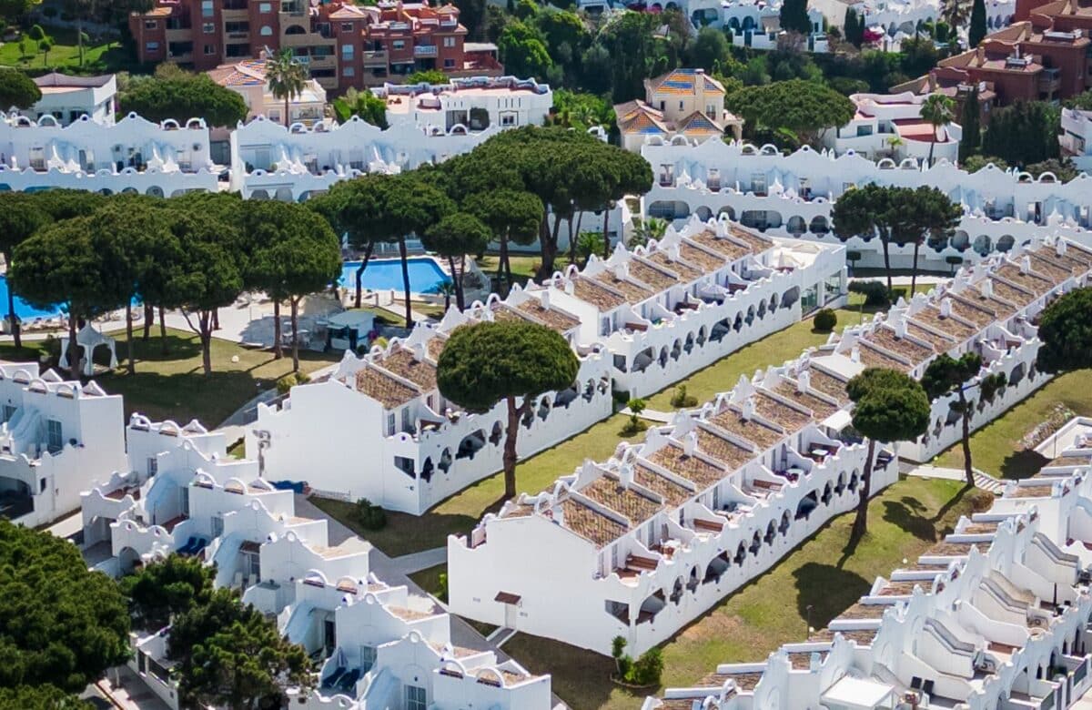
Is Upper Alibaug Land Worth Buying in 2026?
- Atal Setu (MTHL) has been open since January 2024. As of September 2026, the drive from South Mumbai to Alibaug via the bridge and NH 66 runs about 2 hours to 2 hours 15 minutes, against 3–3.5 hours on the old Sion-Panvel route — a saving of roughly 45-60 minutes.
- The Virar-Alibaug Multimodal Corridor’s first phase (Navghar–Balavali, 96.41 km) got administrative approval in May 2026 and is in the land-acquisition and implementation stage — it is not open; the state’s own target is about three years for that phase, “early 2030s” for the full 126 km corridor.
- The Revas-Karanja bridge over Dharamtar Creek — the direct Mumbai-side link into Alibaug — was about 25% complete as of March 2026, targeted for March 2028, and is expected to cut Uran–Alibaug travel to roughly 30 minutes.
- Maharashtra froze ready-reckoner (ASR) rates for FY2026-27 at FY2025-26 levels; you can pull the exact rate for any Alibaug/Raigad village free on the IGR’s e-ASR portal.
- Since 31 December 2025, a new NA conversion in a plan-permitted area skips the separate Sanad step and instead pays a one-time premium of 0.1%–0.5% of the ASR value, scaled to plot size.
- None of this is a return projection. Three of the four access projects above are still under construction, with real land-acquisition and clearance risk — treat every completion date here as a stated target, not a guarantee.
Is Upper Alibaug actually easier to reach in 2026?
Yes, measurably — but by one bridge, not yet a full corridor.
Atal Setu, the Mumbai Trans Harbour Link (MTHL), has been open to traffic since January 2024 and remains fully operational as of September 2026. Driving from South Mumbai to Alibaug via Sewri → Atal Setu → the Chirle interchange → NH 66 now takes roughly 2 hours to 2 hours 15 minutes, against 3 to 3.5 hours on the older Sion-Panvel highway through Vadkhal Naka — a saving of about 45 to 60 minutes. The one-way toll for a car on the full Sewri-Chirle span is currently ₹250, with electric vehicles exempted under the state’s relief policy.
That is the connectivity Upper Alibaug already has. The two projects that would genuinely re-rate the corridor — a direct creek-crossing bridge and a full-length expressway — are both still under construction, which is the more important fact for a 2026 buyer to hold onto.
What’s still being built: the Virar-Alibaug corridor and the Revas-Karanja bridge
Two more projects, both mid-construction as of September 2026, are what would actually open Upper Alibaug rather than just the Mumbai side of it.
The Revas-Karanja bridge across Dharamtar Creek was about 25% complete as of a March 2026 update, targeted for completion around March 2028, and is projected to cut the Uran-Alibaug leg to roughly 30 minutes. The Virar-Alibaug Multimodal Corridor’s first phase — 96.41 km from Navghar to Balavali — received administrative approval in May 2026 and is in the land-acquisition and implementation stage; it has not broken ground on the Alibaug-facing section.
| Project | What it does for Upper Alibaug | Status as of Sep 2026 | Target completion |
|---|---|---|---|
| Atal Setu (MTHL) | Mumbai–Alibaug drive cut to ~2h–2h15m via NH 66 | Open since Jan 2024 | Operational |
| Revas-Karanja Bridge (Dharamtar Creek) | Uran–Alibaug cut to ~30 min; the direct Mumbai-side creek crossing | ~25% built (Mar 2026 update); approach-road land acquisition still delaying progress | ~March 2028 (MSRDC target) |
| Virar-Alibaug Multimodal Corridor — Phase 1 (Navghar–Balavali, 96.41 km) | Access-controlled expressway feeding the corridor from the north | Administrative approval May 2026; land-acquisition/implementation stage, DBFOT model | ~3 years from May 2026 approval |
| Virar-Alibaug Multimodal Corridor — full 126.3 km (incl. Balavali–Alibaug) | Connects Vasai–Bhiwandi–Kalyan–Panvel–Uran–Pen–Alibaug | Phase 2 (Balavali–Alibaug) not yet tendered | “Early 2030s” — a stated state target, not a committed date |
Read that table as a status board, not a countdown. Every “target completion” figure in it comes from an official or state-linked source cited below, and every one of them is a plan, not a certainty — land-acquisition disputes and creek-crossing clearances have already pushed timelines on this exact stretch of coast before.
How do you pull the current ready-reckoner (ASR) rate for a plot in Alibaug taluka?
Free, in minutes, on the IGR’s own portal — and the rate has not moved this year.
The Annual Statement of Rates (ASR), commonly called the ready reckoner, is Maharashtra’s official floor valuation for a property — stamp duty is charged on whichever is higher, your agreement value or the ASR figure for that survey number. Rates are notified every 1 April by the Inspector General of Registration (IGR) under the Maharashtra Stamp Act, and for FY2026-27 the state kept them unchanged from FY2025-26 levels statewide, a freeze confirmed in the IGR’s own notification.
To pull the figure for a specific Alibaug plot: open the IGR’s e-ASR portal at easr.igrmaharashtra.gov.in, select Raigad as the district, then the Alibaug taluka, then the village and survey/CTS number (or the relevant zone) the plot sits in. The portal returns the notified rate for that zone; the IGR’s own guidance is to cross-check an unusual or ambiguous reading with the sub-registrar’s office rather than rely on the online figure alone for a live transaction. This is also the number that now drives the one-time NA premium described below.
What changed on 31 December 2025: the new one-time NA premium
Non-agricultural conversion in Maharashtra got a one-time price tag instead of a separate permission step — and it took effect at the very end of 2025.
The Maharashtra Land Revenue Code (Second Amendment) Act, 2025 was assented to by the Governor on 31 December 2025. It substituted Section 42 so that, where the intended non-agricultural use is already permitted under the applicable Development or Regional Plan (under the MRTP Act, 1966), development or building permission itself now completes the conversion — no separate Collector’s order, no Sanad. The Act repealed Sections 42A–42D, 44, 44A, 45, 46 and 47A, the provisions that used to require that Collector-centric process.
In their place, the amended Section 47 levies a single one-time premium, calculated against the plot’s ASR (ready-reckoner) market value:
| Plot area | One-time NA premium (of ASR market value) |
|---|---|
| Up to 1,000 sq m | 0.1% |
| 1,001 – 4,000 sq m | 0.25% |
| Above 4,000 sq m | 0.5% |
For land converted before this amendment, transitional rules apply: conversions on or before 31 December 2001 are valued at 2001 rates, and conversions between 1 January 2002 and 31 December 2025 are valued at the ASR of the year they were converted. The premium is split between the state and the local body, and the State government can exempt public-purpose projects by Gazette notification. For an NA plot in Alibaug taluka, this means the plot’s ASR — the same figure you pull from the e-ASR portal above — now does double duty: it sets the stamp-duty floor, and it sets the NA premium.
What does this mean for a plot in Upper Alibaug right now?
One access project is live, two are mid-construction with real delivery risk, and the cost of converting a plot to NA just dropped and simplified — that combination, not a headline drive-time, is what a 2026 buyer is actually pricing.
Upper Alibaug’s current land pricing sits at the intersection of an operational bridge, two projects still fighting land acquisition, and a lower, faster NA process. As of September 2026, Upper Alibaug plots trade from about ₹2,000 to ₹3,000/sq ft — a fraction of established Alibaug town, which runs roughly ₹10,000–₹20,000/sq ft. That price gap is the early-entry case for the corridor; it is a factual contrast, not a promise that Upper Alibaug rates will converge on Alibaug’s. — we will publish our current ₹/sq ft band for the corridor, dated, once it is confirmed; we will not estimate one here.
None of the figures in this section are a projection of returns. Land values respond to completed infrastructure, not to announced timelines, and every access project in the table above — bar Atal Setu itself — is still under construction with open land-acquisition or clearance questions. Treat a corridor’s proximity to a “target completion” the same way you would treat any construction schedule: as a plan to verify at the site, not a fact to price in today.
What to verify before you buy in Upper Alibaug
Before treating any plot as Upper-Alibaug-ready, check:
- The 7/12 extract (Satbara Utara) for the survey number, on the Mahabhulekh portal — confirm the land-use column and, for pre-2026 conversions, the Sanad/NA order reference in the mutation entries.
- For a post-31 December 2025 conversion: the development/planning permission itself plus proof the one-time premium (0.1%–0.5% of ASR) was paid — there is no separate Sanad to ask for anymore.
- The project’s MahaRERA registration number, verified directly on the MahaRERA portal against the specific plotted layout being sold, not just the developer’s name.
- The current ASR for that exact village/zone on easr.igrmaharashtra.gov.in — confirm the stamp duty and NA premium you’re quoted match the live portal figure, not an old one.
- Physical access to that specific survey number — which of the projects in the table above actually serves it. A plot near the eventual Balavali–Alibaug stretch of the multimodal corridor is not “on” a road that has not been tendered yet.
FAQ
How much faster is the drive to Upper Alibaug via Atal Setu in 2026?
About 2 hours to 2 hours 15 minutes from South Mumbai, via Atal Setu (MTHL) and NH 66, against 3 to 3.5 hours on the older Sion-Panvel route — a saving of roughly 45 to 60 minutes, as confirmed as of September 2026. This is the bridge alone; it does not depend on the Virar-Alibaug corridor or the Revas-Karanja bridge, neither of which is open yet.
Is the Virar-Alibaug Multimodal Corridor open yet?
No. Its first phase, the 96.41 km Navghar-Balavali stretch, received administrative approval in May 2026 and is in the land-acquisition and implementation stage under a DBFOT model. The state’s own target is roughly three years from that approval for Phase 1, and ‘early 2030s’ for the full 126.3 km corridor including the Balavali-Alibaug section — both are stated targets, not committed delivery dates.
Where do I check the current ready-reckoner (ASR) rate for an Alibaug plot?
Free, on the IGR’s e-ASR portal at easr.igrmaharashtra.gov.in, by selecting Raigad district, the Alibaug taluka, then the village and survey/CTS number. Maharashtra kept FY2026-27 rates unchanged from FY2025-26, so the currently notified figure is what applies.
Do I still need a Sanad to prove a plot is NA in Upper Alibaug now?
Not for a conversion on or after 31 December 2025, where the intended use is permitted under the Development or Regional Plan — development permission plus proof the one-time premium (0.1%–0.5% of the ASR value) was paid is the evidence. For a plot converted earlier, the original Sanad and NA order remain the correct proof, alongside an updated 7/12.
When will the Revas-Karanja bridge open?
The Revas-Karanja bridge over Dharamtar Creek was about 25% complete as of a March 2026 update, with a target completion around March 2028. It is the direct Mumbai-side creek crossing and is projected to cut the Uran-Alibaug leg to roughly 30 minutes, though approach-road land acquisition has been delaying progress.
How much is the one-time NA premium in Alibaug taluka?
Since 31 December 2025, a new non-agricultural conversion in a plan-permitted area pays a one-time premium scaled to plot size: 0.1% of the ASR value up to 1,000 sq m, 0.25% for 1,001 to 4,000 sq m, and 0.5% above 4,000 sq m, in place of the old separate Sanad step.
Before you buy
Corridor access and conversion rules are two lines in a proper title and location check — neither replaces walking the specific survey number. If you’re evaluating plotted land in Upper Alibaug, Karjat, Khopoli or Shrivardhan, our team can go through the records and the access status for that plot with you.
Related reading
Alibaug & corridor land
- Alibaug vs Karjat premium
- Karjat land prices in 2026
- Chaul and Revdanda coastal land
- Shrivardhan land in 2026
- Mangaon land in 2026
- Comparing the land corridors
- The Virar–Alibaug corridor – the multi-modal ring
Infrastructure & access
- What the new airport changed for Raigad land
- Navi Mumbai airport status – where NMIA stands now
- Atal Setu and Raigad land – how the sea link shortened the map
- Mumbai 3.0 infrastructure in 2026 – the projects reshaping Raigad
- The Panvel–Karjat rail corridor
- Why infrastructure timelines slip
- The MMR growth corridors
Prices, checks & strategy
- Ready reckoner rates for Karjat and Khopoli
- Stamp duty on a Raigad plot
- How to read a 7/12 extract
- The land title checklist
- What NA land actually means
- The real risks in emerging corridors
- Land banking near Mumbai
- Maharashtra’s Next Real Estate Boom: Why Smart Investors Are Watching Karjat, Khopoli & Upper Alibaug
- Mumbai 3.0: The Next Chapter of India’s Urban Evolution and Land Wealth Creation
- Is a Plot NA? How to Check in Maharashtra in 2026
- More corridor land posts (Karjat / Khopoli / Shrivardhan — see /blogs/category/land/)
Citations and sources
Figures, rules and timelines in this guide are drawn from Maharashtra government records and official portals; verify every plot’s records independently before you transact. This is general information, not legal, tax or investment advice. Official sources: MSRDC · IGR Maharashtra · Mahabhumi 7/12 (Bhulekh).
